Follow the traces of history and nature for an unforgettable experience in Ancient Lycian Way!
Are you ready to meet your limits?
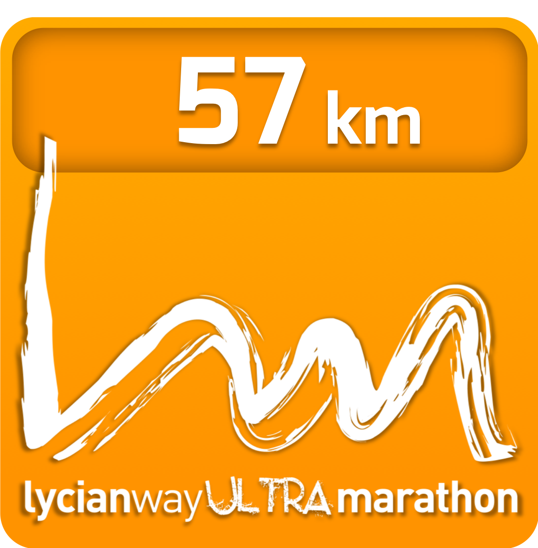
LYUM 57K
For the love of Gelidonya!
Get ready to be enchanted by the Gelidonya Lighthouse and feel the spirit of Olympos! 57 km long racecoruse awaits in the Lycian Way, for every one!

MORE INFO
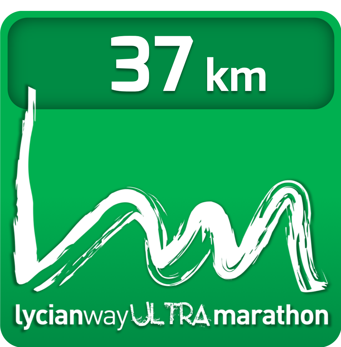
LYUM 37K
Mt. Musa!
Cross the Musa Mountain and Olympos beach and reach Tekirova! LYUM 37K is for everyone who seek the real race experience and wish to enjoy this unique beauty and amazing adventure!

MORE INFO
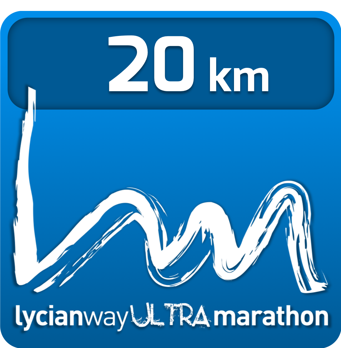
LYUM 20K
Lycian Spirit!
Start from Caretta Carettas’ homeland, run through the history and the beautiful nature, feel the Lycian Spirit! LYUM 20K awaits for both beginners and experienced runners!

MORE INFO
Sponsors